Download a free DWG of a land use zoning map. Learn how to analyze, recreate, and master planning drawings using AutoCAD with this step-by-step guide for students and professionals.
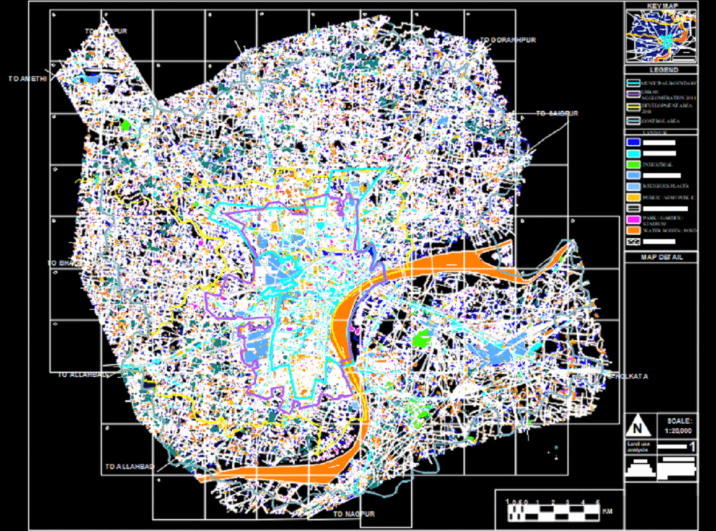
📍 1. What This Drawing Shows?
This drawing is a schematic land use plan typically used in:
- Urban planning projects
- Architecture or landscape architecture studios
- GIS & site analysis exercises
It uses colors and zones to indicate different land functions — useful for:
- Masterplans
- Area development plans
- Urban renewal concepts
🎓 2. Who Should Use This?
✅ Architecture & Planning Students: Understand how to interpret abstract zoning plans
✅ Professionals: Use as a template or reference for new township/site layouts
✅ GIS or Urban Design Projects: Import, trace, and overlay on real maps
🛠 3. How to Create This in AutoCAD – Step by Step
🔧 A. Setup
- Open AutoCAD and start a new drawing
- Set your drawing units to meters or appropriate scale
- Turn on SNAP and GRID for clean alignments
📚 B. Create Layers for Each Land Use Type
| Layer Name | Color Suggestion | Use For |
| Roads | Grey | Pathways, highways |
| Residential | Yellow | Housing zones |
| Commercial | Red | Shops, offices |
| Agricultural | Green | Farming zones |
| Open Space | Blue | Parks, lakes |
✍️ C. Use Polyline Tool (PL)
- Trace each area using PL (Polyline) command
- Snap to grid corners for accuracy
- Close each zone with C for closed polylines
🎨 D. Hatch Each Zone
- Type HATCH
- Choose appropriate solid or gradient fill
- Use a different hatch style/color for each zone layer
🧱 E. Add Road Network
- Use LINE or POLYLINE
- Maintain width using Offset command (O) for typical road width: 3.5m, 7m, etc.
💡 4. Pro Tips for AutoCAD Land Use Projects
- Use XREF to overlay real satellite or plot plans
- Group zones with BLOCK or GROUP for future edits
- Use MText to annotate later with zone names (optional)
- Export to PDF or JPEG via PLOT for presentations

[Click here to download Land Use DWG file]
🔗 6. Related Downloads
- [Urban Housing Layout DWG]
- [Masterplan with Zoning + Circulation]
- [Township Plan with Community Spaces]
📊 7. Where to Use This in Real Life
- Government planning submissions
- B.Arch or MUP thesis projects
- NGO or development sector site proposals
- College studio exercises